
Transport model could help predict virus’ spread
Researchers at KTH are developing a computer model to simulate the connection between the spread of the coronavirus and the travel habits of Stockholm residents. The tool would provide epidemiologists with an important piece of the puzzle, and thereby enable them to better predict how both Covid-19 and other diseases spread in urban centres.
Led by Anders Karlström, the Department of Systems Analysis and Economics at KTH has already done substantial work in developing a simulation model of Stockholm residents’ travel patterns. The model has allowed KTH researchers Amani Jaafer, Oskar Västberg and Daniel Jonsson to test what happens to residents' travel behaviour and movement patterns under changing conditions.
“Our model lets us see if and how people's travel habits change when new roads or metro lines are built, Jonsson says. “If the price of public transport is increased, or new types of taxi services are introduced. We can see what happens if access to electric scooters and kick bikes increases,” Jonsson says.
Telia’s data is not enough
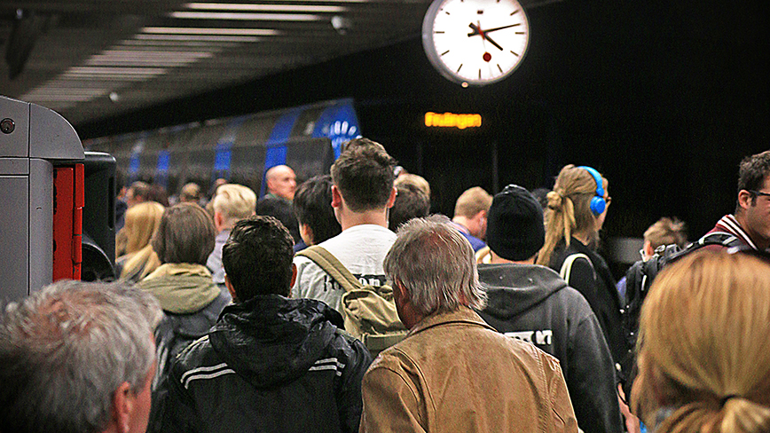
Now in order to take on the coronavirus, the research team aims to provide its technology to epidemiologists. “We have knowledge that epidemiologists lack,” Jonsson says. “We have the spatial picture of where people are, and when they are there.”
He points out that it is important to get as complete a picture as possible, and that it is not possible to obtain enough information by physically observing people's movement patterns.
“Currently there is data, obtained from (mobile carrier) Telia for example, showing how people move. But that is just one part of the big picture. We are scaling it up to apply to the entire population of Stockholm. To be able to achieve this we need the simulation model that we have created.”
Shows areas that are particularly vulnerable
The model is based on the information gathered so far on coronavirus and how it spreads: how long until symptoms appear, how people infect each other, and so on. The researcher then paired this with data on how the residents of Stockholm travel.
The model can show clearly how an infection spreads geographically, as well as how varied the journeys in this area are.
“The model provides insight into which areas are at risk of being particularly affected by rapidly spreading infection, and how policy decisions affect specific areas.”
According to Jonsson, the model’s goal is not to show exactly what Stockholm looks like at this very moment in terms of coronavirus, but to analyse over time how changes are affected by people’s travel behaviour and patterns of movement.
“The model aims to provide data for better decision-making in the future,” he says “To better analyse what has happened and be better prepared the next time we suffer a pandemic.”
Text: Peter Ardell
For more information, contact Daniel Jonsson at +46(0)8-790 96 37 or daniel.jonsson@abe.kth.se.